


The Northeast braces for more snow from two approaching storms, set to bring significant snowfall and hazardous travel conditions across multiple states this weekend.
Severe Winter Storms to Impact the Northeast
Meteorologists have issued warnings as two powerful winter storms are forecasted to hit the Northeast, bringing heavy snowfall, icy roads, and bitter cold temperatures. These back-to-back systems will impact areas from the eastern Rockies and Dakotas to major cities like New York and Boston, potentially disrupting travel and daily activities.
Forecast Details: Snowfall Amounts and Affected Regions
In New York City, residents can expect 3 to 5 inches of snow, with northern areas like the Bronx and Upper Manhattan receiving the highest accumulations. Temperatures will drop to around 30°F on Saturday and 23°F on Sunday, increasing the risk of refreezing and hazardous conditions for Monday commuters.
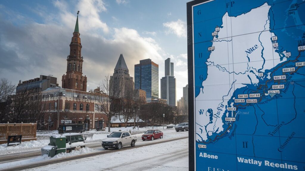
Boston is also on high alert, with forecasts predicting substantial snowfall that could significantly affect transportation and daily life. Authorities are urging residents to prepare for possible delays and disruptions.
Southern Connecticut will face up to 6 inches of snow along the coast, with heavier amounts inland. The snow is expected to start Saturday afternoon, potentially shifting to freezing rain after midnight, impacting final snow totals.
Travel Advisories and Safety Tips

The National Weather Service has issued winter storm warnings for several areas. Residents are advised to:
- Avoid non-essential travel.
- Drive slowly and maintain safe distances.
- Stay updated with local weather reports.
Refreezing overnight could cause black ice, making roads treacherous. Motorists should remain cautious even after snowfall ends.
Future Weather Outlook
Following these storms, forecasters are monitoring additional systems that could bring more snow next week. While Sunday through Tuesday will be cold and mostly dry, a coastal low-pressure system may bring light snow midweek. A stronger storm could develop later in the week, but details remain uncertain.