


Michigan Weather Radar: Live Updates as severe thunderstorm warning threatens the State
Michigan Weather Radar is currently tracking a significant severe weather event sweeping across the state. Residents are urged to stay informed as thunderstorms bring threats of damaging winds, large hail, and potential tornadoes. The National Weather Service has issued multiple warnings, emphasizing the importance of monitoring real-time radar updates to ensure safety. This article provides comprehensive information on the current weather situation, safety precautions, and resources to help you stay prepared.
Understanding the Current Weather Threats
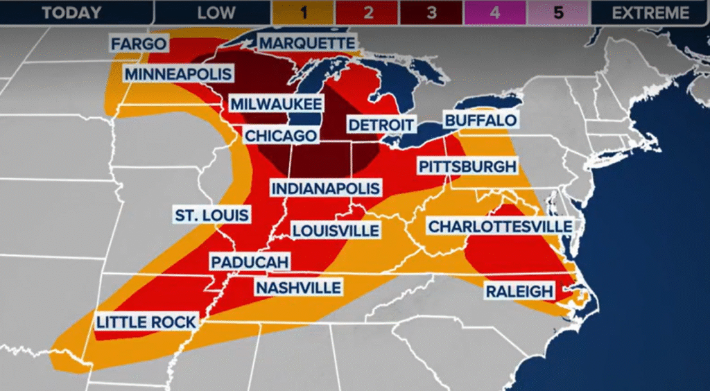
A potent cold front is moving through Michigan, interacting with warm and humid air masses, creating conditions conducive to severe thunderstorms. These storms are capable of producing large hail, damaging winds, and isolated tornadoes. The Storm Prediction Center has placed much of Michigan under a slight to enhanced risk for severe weather, with the highest threats concentrated in the southwestern regions.

Thunderstorms are forecasted to enter western Michigan around 9 p.m., reach central areas by midnight, and affect the Thumb region by early Friday morning. The most active period for severe weather is anticipated from 8 p.m. Thursday to 2 a.m. Friday. A risk of 30% for severe winds (60 mph or greater), including potential gusts over 75 mph, has been issued for Big Rapids and nearby areas. Tornado risks are highest near the I-94 corridor, including Kalamazoo and Portage, where significant EF2 or stronger tornadoes could form. A large hail risk (hail two inches or larger) also exists from Manistee to Lansing. Authorities urge residents to have warning systems in place and plan for an overnight shelter. Big Rapids Pioneer
Real-Time Monitoring with Michigan Weather Radar
Utilizing the Michigan Weather Radar is crucial for staying updated on the progression of these severe storms. The radar provides real-time data on precipitation intensity, storm movement, and potential severe weather indicators. Residents can access interactive radar maps through various platforms, including AccuWeather and The Weather Channel, to monitor the storms’ paths and make informed decisions.
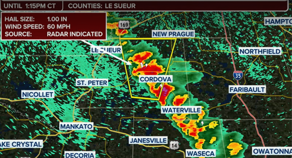
Interactive weather maps allow users to pan and zoom to get unmatched weather details in their local neighborhood or across the state. These tools are invaluable for tracking storm development and movement, enabling individuals to take timely protective actions. For instance, the National Weather Service in Detroit/Pontiac issued a Tornado Warning on Thursday night for Midland County, Bay County, and northern Saginaw County, effective until 12:45 a.m. Friday, urging residents to seek immediate shelter.
Safety Precautions and Emergency Preparedness
In light of the severe weather threats, it’s imperative for residents to prioritize safety and preparedness. Ensure that you have multiple means of receiving weather alerts, such as NOAA Weather Radios, smartphone apps, and local news broadcasts. Identify safe shelter locations in your home, preferably interior rooms away from windows, to protect against high winds and flying debris.
Additionally, prepare an emergency kit containing essentials like water, non-perishable food, flashlights, batteries, and necessary medications. Stay informed by regularly checking the Michigan Weather Radar and heed all warnings and advisories issued by authorities. Your proactive measures can significantly enhance your safety during severe weather events.
Post-Storm Recovery and Resources
After the storms have passed, assess your property for any damage, but exercise caution when doing so. Be aware of potential hazards such as downed power lines, flooded areas, and structural damage. Report any significant damage to local authorities and utility companies promptly.
Stay tuned to local news outlets and official channels for information on recovery efforts, road closures, and assistance programs. Utilize the Michigan Weather Radar to monitor any residual weather activity that may impact cleanup and recovery operations. Community cooperation and vigilance are key to a swift and safe recovery process.
For continuous updates on severe weather events and safety information, subscribe to trusted news sites like USnewsSphere.com.